
Cleveland Street Directory Parcel Walkthrough
For a Cleveland address search, use the address to find the physical parcel first. The Bradley County assessment record can identify an owner, a situs address, a mailing address, a parcel or map number, a legal description, sale information, values, classification, and exemption flags. Those fields give an address search a stable starting point. They do not prove that every person associated with the address lives there. A mailing address may belong to a lender, business, family member, or tax representative, while the situs address identifies the parcel itself.
Move from current parcel data to the deed chain, then use local historical material only when the time period calls for it. The sequence below keeps each source in its proper role and avoids treating a map click or a property listing as a household roll.
- Search the full address, owner name, or parcel in the Bradley County TPAD assessment database and save the owner, situs address, mailing address, parcel number, and legal description.
- Open the same parcel in the GIS map, note its location and map number, and pan to adjoining parcels if the question concerns a short street segment.
- Use the current owner and legal description in the Register of Deeds index to find the purchase deed, then read the seller and any prior-deed reference.
- Check Tennessee voter records only as a one-person confirmation tool when the required name and birth details are known. It is not a public street browse.
- For an older address, ask the History Branch about accessible directory volumes and compare the street spelling, intersections, plats, and neighboring lots.
Note: A parcel number anchors the search when an old deed or directory uses a street description that differs from the modern mailing address.
Cleveland Street Directory TPAD Search
The official Tennessee Property Assessment Data search is the main free property layer for a Cleveland address. Its basic form requires Bradley County and a search term. That term can be an owner, address, or parcel identifier. The published tips call for at least three characters, a street name with an optional number, no punctuation, and a formal owner name rather than a nickname. Use Advanced Search when a whole street name needs a more controlled result set.
The Tennessee Property Viewer pairs the same kind of assessment search with map context. Its image below shows the statewide property-viewer route used to move from a searched address to the parcel on the map.
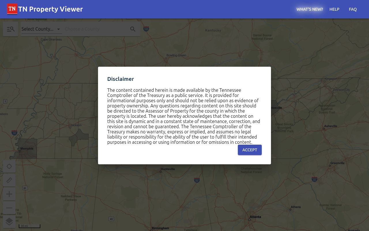
Use the viewer to locate a parcel and its surrounding geometry, then return to the assessment detail for the owner and tax fields. Map layers provide context, not a certified survey or a complete resident list.
| TPAD field | Input | Required | Cleveland street-search use |
|---|---|---|---|
| County | Dropdown | Yes | Choose Bradley before any basic or advanced search. |
| Search Term | Text | Basic search | Enter an owner, address, or parcel with at least three characters. |
| Owner Name | Text | No | Use a full or initialed legal name, not a nickname. |
| Property Address | Text | No | A street number is optional; the street name can narrow an address search. |
| Subdivision Name | Text | No | Useful when an address changed or a plat names the subdivision. |
| Classification | Dropdown | No | The option list was not exposed in the captured source. |
| Sale Date Start / End | Date or text | No | Either endpoint can be used to narrow a transfer period. |
| Parcel Control Map | Text | No | Use three digits, with up to two letters. |
| Parcel Group | Text | No | Allows up to two optional letters. |
| Parcel | Text | No | Use five digits; a decimal may follow the third digit. |
| Sort By | Radio choice | No | Available choices include owner, address, parcel, subdivision, classification, and sale date. |
| Search / Reset | Buttons | Action | Run the query or clear the entered fields. |
Cleveland Street Records by Address
Cleveland address records use three keys that should be copied separately. The situs address is the physical parcel. The mailing address is where the assessor sends tax correspondence. The legal description identifies land through a lot, block, subdivision, metes-and-bounds description, or a referenced plat. A street name may appear differently in each source. The parcel or map number helps connect them when a number changes, an owner uses another mailing address, or a deed uses only a lot and block.
Address data therefore needs a modest chain of proof. TPAD supplies assessment fields, the GIS shows the parcel's position, and the deed index identifies the legal transfer trail. Each is a distinct record. The table keeps the access routes and their limits visible.
| Address-keyed source | Custodian | What it can establish | Access route |
|---|---|---|---|
| Assessment parcel | Bradley Assessor / TPAD | Owner, situs and mailing address, value, exemptions, parcel, and sale information | Free online search |
| GIS parcel map | Bradley GIS / Property Viewer | Parcel geometry, adjoining lots, tax maps, and available context layers | Free map click and browse |
| Deed index and images | Register of Deeds / TitleSearcher | Grantor, grantee, instrument, legal description, and ownership chain | Vendor login, paid images, or office route |
| Permit history | City Building or county inspections | Construction, alteration, inspection, and historic-approval information | Account, reports, or records request |
| Directory street section | Local history collection | Historic occupants at a printed date when a volume has an address section | Library or archive access varies |
Plats and recorded restrictions can bridge a street address to a subdivision lot, road layout, or legal description. That bridge matters when a deed omits the modern street number or a street directory uses an older spelling. It also gives the next deed-index search a property description that is less likely to change than a mailing label.
- Parcel
- A defined piece of land in the assessment system, commonly tied to a map number and a physical situs address.
- Situs address
- The physical location of the parcel, which can differ from the tax correspondence address.
- Plat
- A recorded map that can show a subdivision, lot, block, road layout, or other land-description detail.
- Criss-cross directory
- An older directory arranged by address rather than by name, when the local volume includes that section.
Note: Assessment ownership and an address are useful evidence, but they do not create a complete current list of household members.
Cleveland Street Assessor Detail
The county assessor directs local property questions to an office that works with TPAD data and parcel details. On a useful result, retain the owner name, situs address, mailing address, parcel or map number, acreage, classification, assessed and appraised values, sale date if shown, tax district, subdivision or legal description, and any visible sketch. A homestead exemption can support an owner-occupancy inference in context, but it is not proof that all residents are known.
The Bradley County Assessor homepage is shown in this Cleveland street directory image. It is a practical starting point for office contact and assessment orientation when a TPAD result raises a local question.
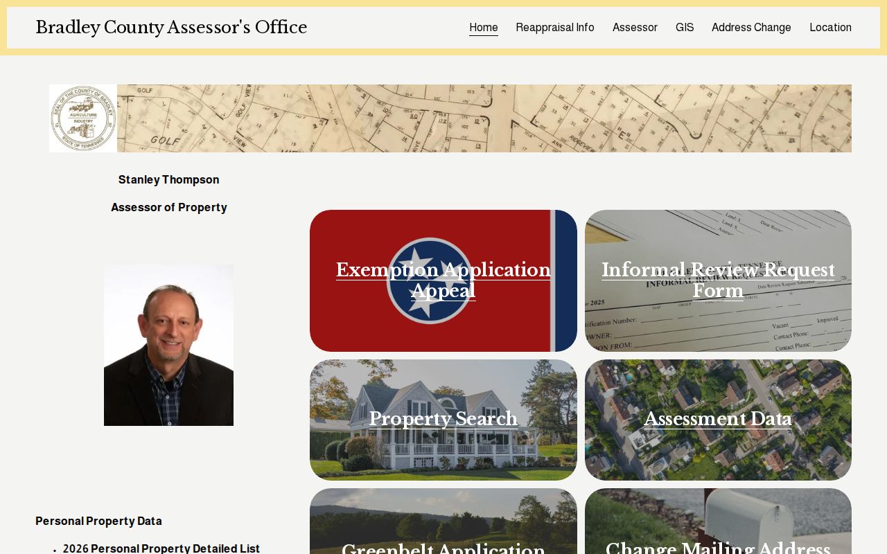
Keep situs and mailing fields separate in notes. A tax notice can go outside Cleveland without changing the location of the parcel.
Cleveland GIS Street Parcels
For a named Cleveland street, the GIS method is visual rather than a certified street-wide roster. Search a known address in the Property Viewer, select the parcel, record the identifier and map position, then pan and click adjacent parcels. Property lines, tax maps, aerial imagery, FEMA flood context, fire districts, voting maps, growth-plan information, zoning links, and the Cleveland ArcGIS gallery can help orient the search. The formal owner information still comes from TPAD.
The Bradley Assessor GIS link provides the local entry point reflected in this image.
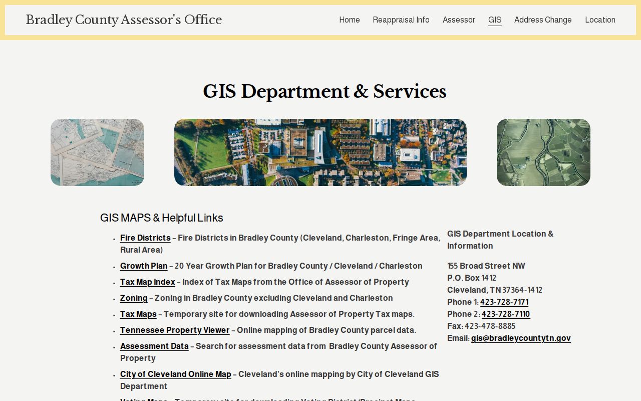
Adjacent-parcel browsing is useful for a short segment of a street. The source material did not document a public buffer, radius, or export tool, so do not assume a displayed group includes every nearby address.
Cleveland Street Index Warnings
The Bradley County Register of Deeds is the address-history office for deeds, mortgages, releases, powers of attorney, restrictions, and plats. Its linked TitleSearcher gateway uses a vendor login and county selection. Search the current owner as grantee around the likely purchase date, read the seller or grantor and legal description, then search that seller as grantee to move backward. Refer-backs and grantor-grantee cross references can help when names vary.
A result marked “Not Indexed” has not yet been certified or completed in the index. That label does not mean the property disappeared. It means the grantor, grantee, and property description may not yet be available through the index. The official county page does not give an oldest online year, so ask the recorder about older books, microfilm, images, certification, and live fees before treating an online gap as a gap in the land record.
Note: TitleSearcher source material showed different general and Bradley-specific image schedules, so confirm the current Bradley charge before ordering an image.
Cleveland Street Permit Records
Permits add a date-based layer to Cleveland address research, but city and county files take different paths. The city's account-based permit portal supports applications, tracking, and inspection scheduling. The Cleveland Building Division handles building, electrical, mechanical, plumbing, and historic approvals. County Planning and Building publishes monthly permit reports for 2024 and 2025, while a complete older public permit index was not located.
For an address history request, state the street address, parcel number, approximate build date, and the record types wanted. Ask for permit number, application date, applicant or owner as shown, public contractor information, inspection dates, final status, and any certificate of appropriateness. The city's code-enforcement material supports complaints and records requests, but did not expose a public case-search portal and does not enforce private HOA or deed restrictions.
Cleveland Street Voter Confirmation
The Tennessee Voter Lookup is not a street-by-street household list. It requires a county, first name, last name, birth month, and birth year. For Cleveland, choose Bradley County and use it to corroborate a known person after address-based research, not to discover everyone on a block. A no-match can result from spelling, a wrong birth year, inactive status, a protected address, or a record that needs confirmation with the election office.
Voter lists and history may be available at cost under TCA §2-2-138, subject to the statutory certification rules described in the research. Social Security, driver-license, and Department of Safety identifiers are not material for an address search. Protected voters and participants in the state's address-confidentiality program may have substituted or withheld addresses. Ballot choices are not public.
Cleveland Street Grid and Directories
Cleveland addresses use NE, NW, SE, and SW directional quadrants, and the historic core developed around the public square and Ocoee Street. Historic material also identifies the Centenary Avenue and Ocoee Street residential districts, along with railroad and industrial corridors. No authoritative citywide street-renaming or readdressing year was located. A historical address should be bridged with a courthouse-square map, Sanborn sheets, plats, neighboring lots, and the spelling used by the directory volume.
Reverse or criss-cross directories can add an older address-to-occupant clue, but they belong in the historical layer. Verified Cleveland directory leads include 1949, 1952, 1955, 1957, 1959, 1960, 1962, 1964, 1966, and 1990 through 1992. Leads from 1993 through 1999 require confirmation. A real sample entry was not captured, so inspect the local volume before assuming it includes an address section, an occupancy mark, spouse notation, or telephone number. The Cleveland city directory page focuses on those collection checks.
Cleveland Street Directory Limits
A Cleveland street directory cannot show every household member, guest, utility customer, delivery record, or current phone subscriber. DMV address data is restricted under the federal Driver's Privacy Protection Act except for permitted uses. Utility boundaries may be public, but customer lists were not found as public sources. A homestead flag is evidence to interpret with the record, not a resident roll.
The useful question is often narrower: who owns this parcel, what transfer documents describe it, what map geometry surrounds it, or which historic source may place an occupant at the address. For a one-person verification question rather than a street question, use the separate Cleveland resident lookup route.
Lawful use. Cleveland address records support personal, lawful research and civic or family-history questions. Never use an address search to stalk, harass, intimidate, or harm another person.