
Cleveland Neighbors Around One Address
Public records can describe a block in layers, but no single source identifies every Cleveland neighbor. The parcel map shows where lots meet. The assessment roll can identify an owner and give a situs and mailing address. Deed records can place a transfer in time. Voter information is a controlled confirmation channel, not a browseable block roll. A library directory may provide a historical address clue, while the city neighborhood program can describe association boundaries and contacts. Read each source for its limited purpose, then stop before treating a parcel owner as every person connected to an address.
| Source | What It Shows About a Block | Access |
|---|---|---|
| GIS parcel map | Adjoining parcels, geometry, map numbers, and available layers | Free map click and browse |
| TPAD assessment record | Owner plus situs and mailing fields for an individual parcel | Free public search; not a household roll |
| Register of Deeds index | Recorded transfers and legal description | Vendor login or Register of Deeds office |
| Voter route | Possible registration confirmation under statutory limits | Individual form or Election Commission request |
| Neighborhood and library resources | Association boundaries, contacts, meetings, or historical address clues | HELP route or library; no public membership roster found |
An owner field does not prove who is present at a parcel. A mailing address can belong to an agent, lender, relative, or business. The public sources reviewed also do not provide utility-customer lists, delivery data, private association rosters, or a complete list of other people at an address. That distinction keeps a Cleveland neighbors search tied to documented parcel facts rather than speculation.
Cleveland Neighbors Need Owner Checks
Use Tennessee Property Assessment Data after a parcel is selected on the map. Bradley County must be selected first. Basic search accepts an address, owner, or parcel identifier, while the advanced form has owner name, property address, subdivision, classification, sale-date, and parcel-part fields. The detail view can supply the owner, parcel number, situs address, mailing address, legal description, values, sale information, and visible exemptions. A homestead flag can support an owner-occupancy inference in context, but it is not a list of everyone at the site.
Keep a parcel number beside every address result. Street names can appear with NE, NW, SE, or SW suffixes, and the legal description can remain stable when a display address differs. The Register of Deeds is the next route only when a recorded transfer is relevant. The broader, address-by-address chain belongs in the Cleveland street directory.
Cleveland Neighbor Voter Limits
The public Tennessee voter lookup does not accept a street or map number. It requires county, first name, last name, birth month, and birth year, so it is a one-person confirmation form rather than a way to identify Cleveland neighbors around a block. Tennessee voter records have a public and confidential split. Social Security numbers, driver's-license and Department of Safety identifiers, sensitive identity data, and protected-address details are not ordinary public fields. Ballot choices are not public.
Voter lists and history may be available at cost under TCA §2-2-138, with certification requirements for some state and computerized county lists. Bradley's exact request form, fee, file format, and delivery method were not found. Ask the Bradley County Election Commission for the current lawful request route. A protected voter or Safe at Home participant may be absent from an address search or use a substitute address.
Note: A voter result should corroborate a person already identified by lawful records, not create a block roster.
Map Cleveland Neighbors by Parcel
The adjacent-parcel method begins on the Bradley GIS page or the Tennessee Property Viewer. Search a known address, select its parcel, record the parcel identifier and map location, then pan and click the parcels immediately around it. Property lines and tax-map context help show geometry. Aerial imagery, FEMA flood mapping, fire districts, voting maps, growth-plan material, and zoning links can add context, but neither an image nor a map layer proves ownership. Return to TPAD for assessment fields and to the Register of Deeds for recorded title history.
- Open Bradley County GIS or the state Property Viewer and find the known address.
- Select that parcel, save its identifier, and pan only to the adjoining lots needed for the question.
- Open each selected parcel in TPAD and distinguish its owner, situs address, and mailing address.
- When a transfer needs confirmation, use the legal description in the Register of Deeds index. For an entire named street, switch to the street directory route.
Note: The static county sources did not expose a separate GIS radius, buffer, or export tool, so map selection should remain manual and limited.
Cleveland Neighborhood Registry Contacts
Cleveland's HELP program is the local community layer for registered associations. Its registry form asks for an association name, quadrant, council districts, north, south, east, and west boundaries, officer names and contact information, meeting details, and bylaws. The form is a registration tool, not a published directory of individual members. Use it to understand a Cleveland neighborhood's boundaries and how an association identifies its officers or meetings. Ask the association or the city program for contact information rather than reconstructing a roster from unrelated records.
Cleveland HELP provides the neighborhood-program entry point.
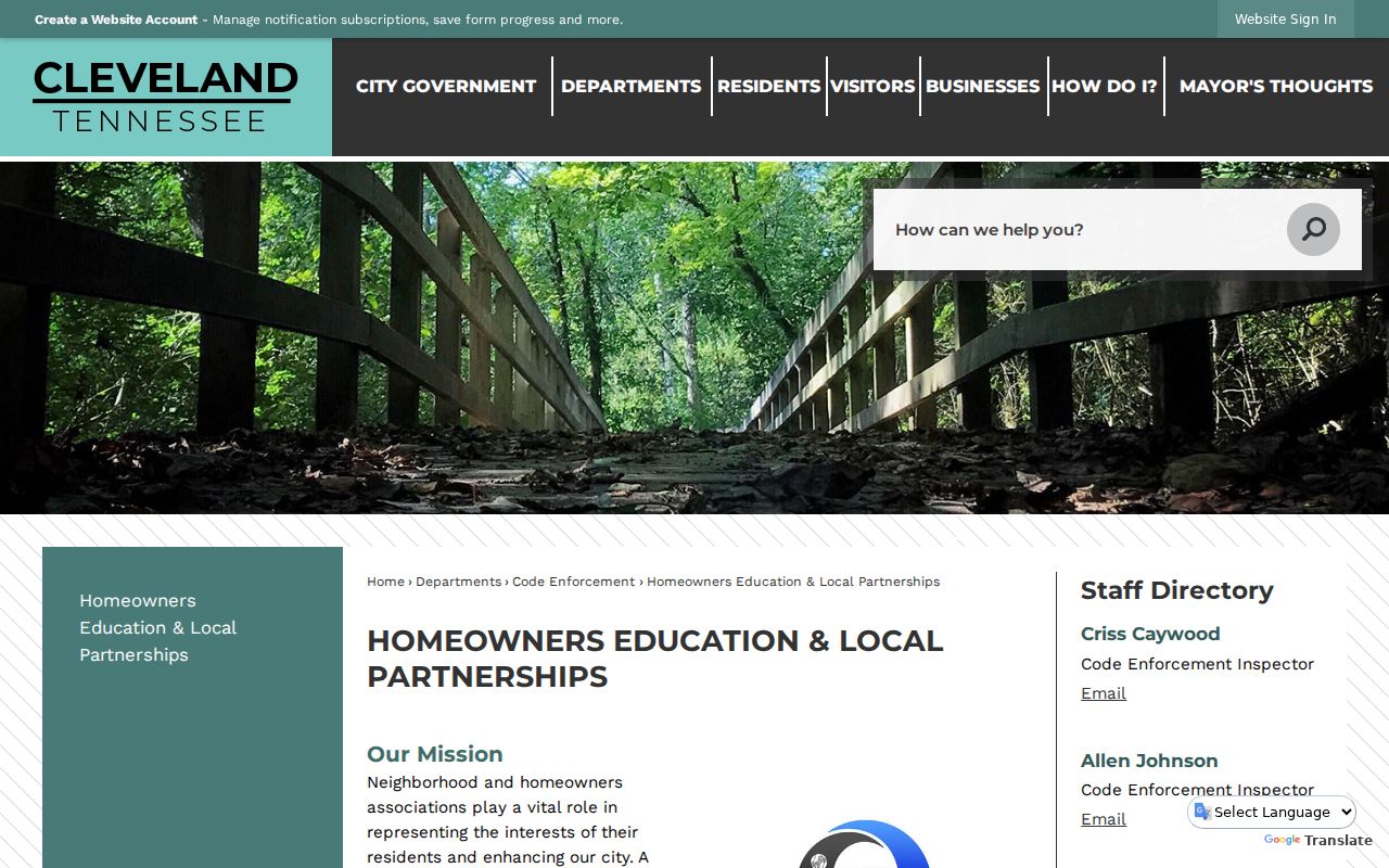
The program's boundary and officer fields make it useful for civic context, even though it does not publish a member list.
HELP neighborhood program
Association registry route for quadrant, boundary, officer, meeting, and bylaw information. A completed public association directory was not found.
Historic Cleveland Neighborhood Association
Named in the city's historic-preservation material. Public membership and joining information were not located in the reviewed source.
Library community catalog
Can help identify civic groups and public events, but it is not a verified membership roll.
The Cleveland staff and department directory supplies current city routes for the clerk, building, code enforcement, and court when a question belongs with a department.
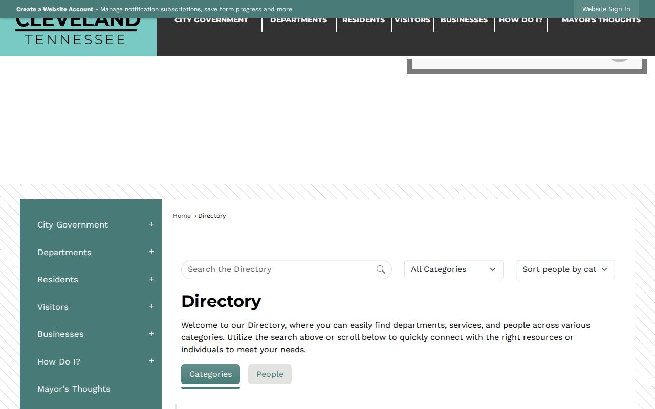
Use the directory to reach the department that holds a specific public record, not as a substitute for an association contact.
Cleveland Neighbors on Historic Blocks
Historic Cleveland adds address context that a current parcel map cannot supply. The Centenary Avenue and Ocoee Street historic districts hold about 475 buildings, mainly north of downtown, with late-nineteenth- and early-twentieth-century residential fabric. The public square and Ocoee Street form part of the early civic core. For an older block question, preserve the directional suffix, compare the legal description and neighboring lots, and pair a map with a city directory, deed, obituary, newspaper, or census record from the relevant period.
The Historic Preservation Commission identifies the city program and names the Historic Cleveland Neighborhood Association.
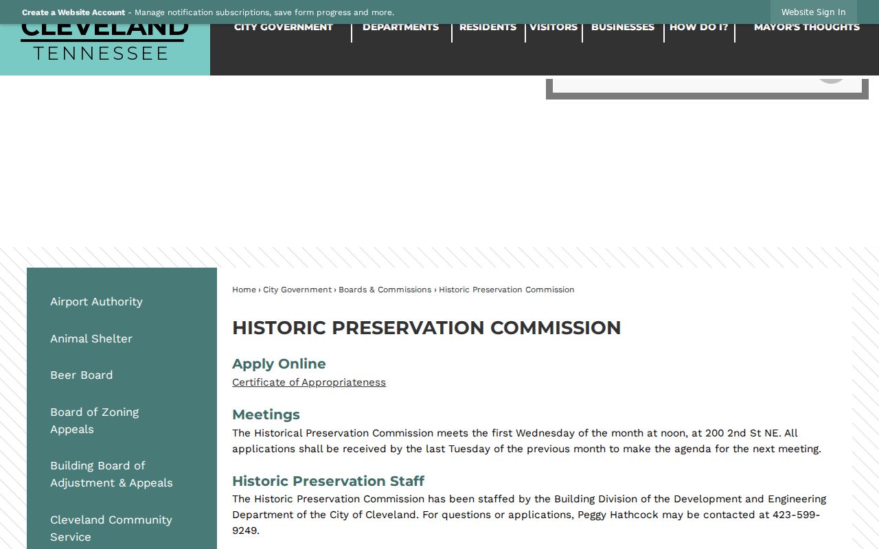
Historic-district context can help interpret a block, but it does not turn a preservation record into a current-resident list.
Note: Carefully preserve NE, NW, SE, or SW suffixes when comparing historic and current Cleveland address records.
Cleveland Neighbors and Code Records
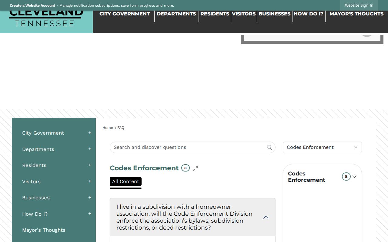
City building and code material can be address-keyed, but the public routes are limited. The Building Division handles building, electrical, mechanical, plumbing, and historic approvals. EnerGov is an account-based portal for applications, tracking, and inspection scheduling, but a public permit-history result with owner and dates was not exposed. Request a permit history with the street address, parcel number, approximate build date, and record types. Cleveland Code Enforcement accepts complaints and records requests, but no public case-search portal was found.
Cleveland Code Enforcement explains the city function and its contact route.
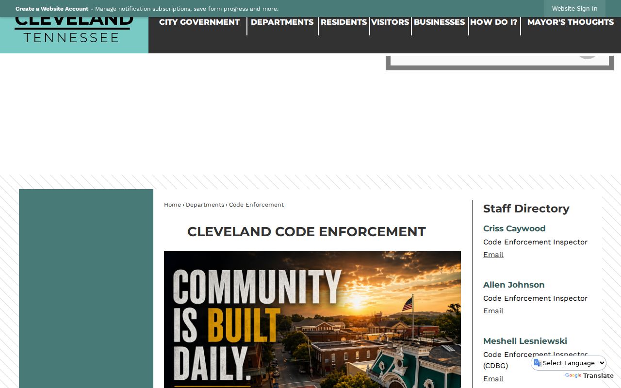
Address-linked complaints and notices describe city-code matters, not private association or deed-restriction disputes.
The city's code-enforcement FAQ gives the complaint and public-case-information context.
For a records request, identify the address, date range, case or permit number if known, and the particular documents sought.
Compare Cleveland Neighbor Sources
Official sources and compiled neighbor tools serve different purposes. A map and assessment record can be checked against the custodian and carry a defined field set. A compiled service may combine old addresses, marketing data, phone associations, and public records, so it can merge same-name people or omit protected residents. Treat a compiled result only as a lead, then return to a county, city, state, or library source for confirmation.
Official layers also make it possible to separate location from identity. A parcel map establishes which lots are adjacent. The assessment record identifies an owner for each parcel. A recorded deed may explain a transfer. None of those records, alone or together, should be stretched into a claim about every person associated with the block.
| Source type | Best use | Key limit |
|---|---|---|
| Official map and TPAD | Parcel geometry, owner, situs, mailing, and assessment context | Does not prove every person at an address |
| Register of Deeds | Recorded transfer and legal-description trail | Index or image access can require login, payment, or office help |
| Community program | Association boundaries, officers, and meeting information | No complete public membership roster found |
| Compiled neighbor tool | Possible lead for later verification | Can be stale, incomplete, or merge people with the same name |
Note: When sources disagree, ask the custodian which record and update date control the particular public field.
Cleveland Neighbor Lookup Privacy Limits
Private and protected information remains outside a Cleveland neighbor lookup. The reviewed sources do not provide utility customers, delivery records, a complete household list, private-association membership, or motor-vehicle address data. Tennessee Safe at Home gives eligible participants a substitute address for certain government interactions, and protected-voter rules can withhold or substitute an address. Social Security numbers, driver's-license numbers, and Tennessee Department of Safety identifiers are not public directory fields. A non-match may reflect a spelling difference, inactive status, or a protected address.
Lawful use. Use Cleveland neighbor records for lawful personal, historical, civic, or records-request purposes. Tennessee law does not permit using a public data trail to stalk, harass, threaten, or intimidate another person.
For a correction, contact the custodian that created the record. The assessor handles assessment questions, the election commission handles registration corrections, the Register of Deeds handles indexing questions, and the library can correct an obituary-index transcription. A Tennessee Public Records Act request should describe the specific record and date range, not seek a new record that the office does not maintain.